Days 31 – 36 The Glamorous Life

130 miles
Santa Barbara, CA – Solvang, CA

I’m now half way done with my trip. Wow. It feels very odd to write this, yet also an accomplishment.

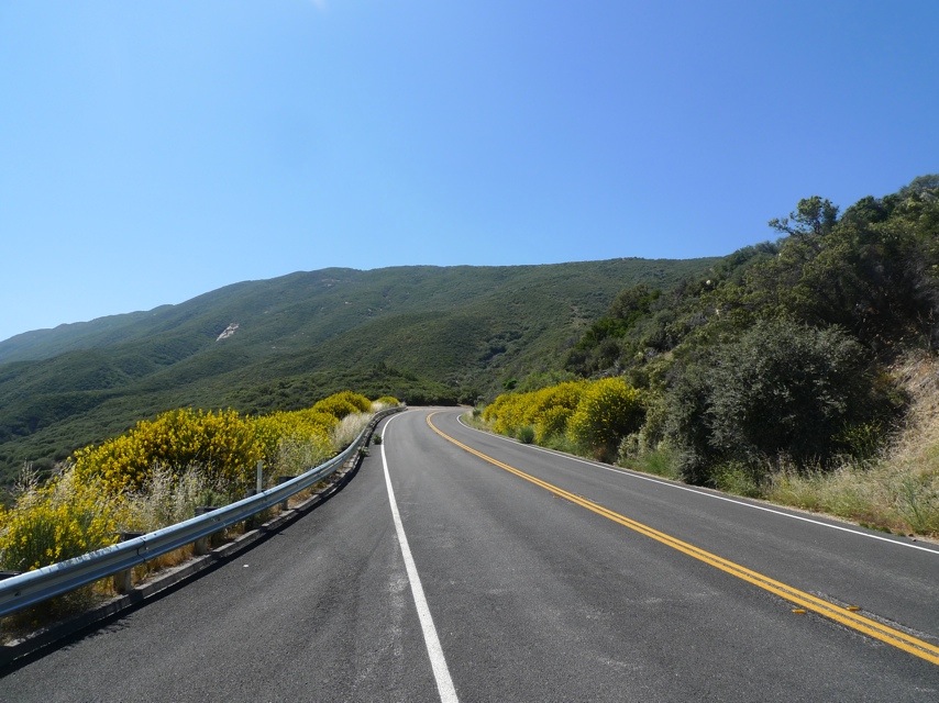
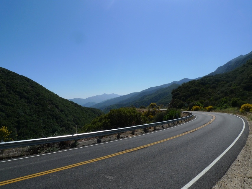
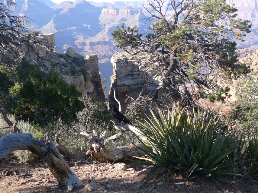
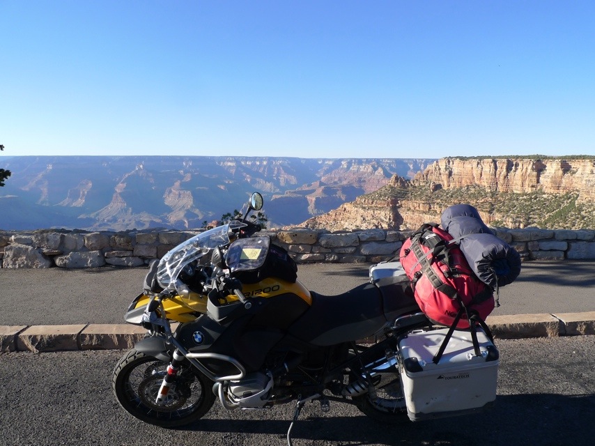
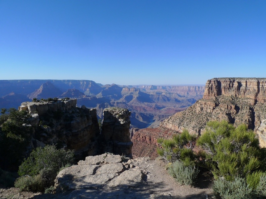
I spent the weekend in Santa Barbara with Jonathan doing some hiking, tasting some Central Valley wines and generally recuperating from the 4,500 miles I’d ridden so far. There were apparently over 7 weddings being held at the hotel during our stay and frustratingly, none of my exciting tales of harrowing cliff side riding or camping in the rough wilderness of KOA campgrounds elicited even the slightest of favorable responses from the forlorn bridesmaids that occupied the hotel bar. Sigh. Time to get back on the road.

In the meantime, some real world responsibilities were beginning to pile up in my absence, and I needed to find someplace to hang out for a few days while I did some writing work and also waited for my wife to join me for a few days in California.

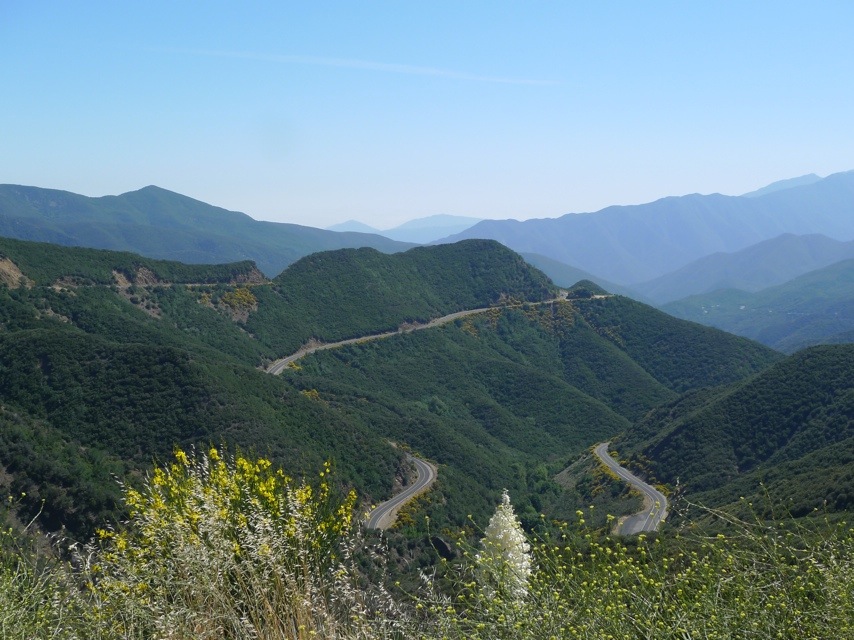
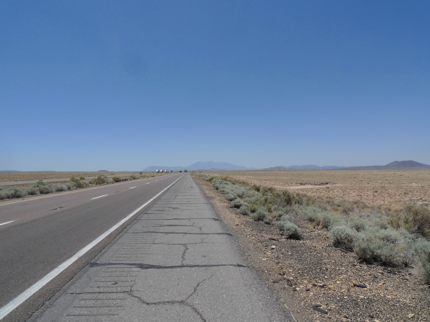
I left Santa Barbara in the late afternoon and rode north with no particular destination in mind. Around 7 p.m., I figured it high time to find some shelter. I’d been been staying in Holiday Inn Express hotels when I haven’t been camping so I started my search by looking at the two closest ones to my location. There were two that were equidistant; one in Lompoc and the other in Solvang.

I pulled over to a rest stop and figured it was a good idea to give each hotel a call to check on availability as well as get a feel for each location. The woman manning the front desk at Lompoc indicated that they were located at the regional airport with the town center being a short drive away. Here’s my conversation with the lady at Solvang:

Me: Hi! Do you have any availability for tonight?

Chipper Lady At Solvang Holiday Inn: We sure do! Come on over.

Me: Umm…wow, thanks. I might just do that, but first is there anything to do right around the hotel?

Chipper Lady At Solvang Hotel: Our hotel is located in the middle of Solvang. All we do here is shop, eat and drink a lot of wine.

Me: Done! I’ll be there in 7 minutes,

20110719-074646.jpg

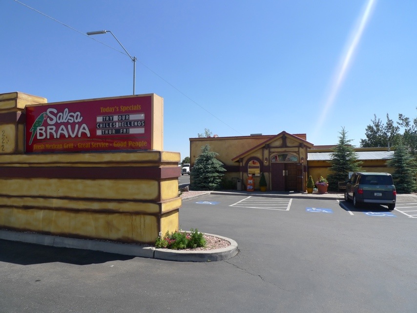
Solvang, it turns out, is this totally delightful little town that is modeled after a small Danish village. As you can see the entire place looks like a cross between Disneyland and Oktoberfest. Even riding into the town I got a good feeling as I passed an ostrich farm (my favorite meat in the world – shut up if you haven’t tried it) as well as The Hitching Post, the famous restaurant in Sideways where Paul Giamatti shouts, “I will not drink Merlot!”

Clearly, I needed to have my first dinner at The Hitching Post.  In addition to enjoying a delectable filet, I was presented with my first roasted artichoke which required detailed instructions kindly provided by the young lady sitting next to me at the bar. Turns out, I like artichokes!

The next few days were spent at my keyboard at one of the countless coffee shops and bakeries in town. I had so many Danish cookies, fruit berry turnovers, and chocolate croissants that I have come to resemble Augustus Gloop from Willy Wonka. But the weather has been perfect, and the town conducive to writing so I really can’t complain.

20110719-074823.jpg

As an added bonus, my friend Randall who was kind enough to host me in Houston was passing through California and he and I and his whole family got to enjoy lunch together, feasting on Danish meatballs and herring (the kids said no f-ing way and ordered spaghetti and red sauce).

The Danes who settled Solvang did so because it was reputed to have some of the best weather in all of California. All I can say is that getting a few days out of the saddle in their wonderful (albeit slightly touristy) town has been a little slice of heaven and a very pleasant discovery.

20110719-075138.jpg

WHAT I LEARNED / DISCOVERED TODAY: Driving without a plan continues to offer great results and memorable surprises. I loved walking around Solvang and feeling like I was suspended in a little pocket of Europe while I contemplated the trip past and going forward. Loved stumbling on this fun little town. Also, I need to lay off the pastries. I only have one riding suit and Velcro has a breaking point.

Days 28-30 Westward Ho!

Kingman, AZ – Santa Barbara, CA

610 miles

Leaving Kingman this morning, I had a spring in my step and giddy anticipation in my heart. Today, I would cross the border into California! Even though I had plans to head north to Oregon and Washington, there is something symbolic about reaching California and being able to finally lay eyes on the Pacific Ocean.

20110712-051509.jpg

After crossing the border, it dawned on me how unbelievably WIDE California is. We all have a good sense of how long it is. But as I headed west, I was discouraged to have my GPS tell me that my long awaited West Coast margarita would still be another 5 hours away.

20110712-051548.jpg

The impressive Mojave Desert dominated the landscape as I rode towards Barstow, CA. It was also one of the first times that I got a little worried about my fuel supply. In an effort to cover distance, I was really trying to limit my stops once I got moving. But as I blew by one exit with a Shell Station, I saw the next sign indicating fuel wouldn’t be available for another 60 miles! I had a range of about 80 miles left so it wasn’t life or death, but if I made wrong turn somewhere (admittedly pretty hard to do on an Interstate, but still) things could get pretty spicy in the desert.

20110712-051518.jpg

The normal way to the coast would have been looping far South to the 101 Highway, and taking that North to Santa Barbara. But at this point, I’d had my fill with long stretches of I-40 and was looking forward to kicking it hard on the tight twisties. Instead, I decided to head straight for the coast (literally) and traverse the Los Padres National Forest.

To get there, I still had to cross straight across Death Valley, and saw endless miles of oil country and remote industry. So much of our collective imagery of California is limited to the narrow coastal regions. The interior of the state is simply massive, dusty and sparse (at least in the southern part).

20110712-051531.jpg
Finally, I arrived at Frazier Park and stared up at the mountain and its switchbacks that lay ahead of me. The goal was to cross over the summit pass and follow Route 33 to drop into Ojai. At the time, I had no idea how high I would be riding (6,500 feet – starting from less than 1,000 feet) and how radical the road would be. It was really aggressive motorcycling nirvana, and it was fun to push the envelope a bit getting the bike to lean way over in the turns.

20110712-051612.jpg

20110712-051650.jpg

However, as you can see in the photos, the steep drop off discouraged any Evil Kenevil fantasies I might have harbored. Fun, but sincerely scary at parts.

20110712-051556.jpg
But what struck me most was the intense greenery. After being in the desert so long, it was so cathartic to cross over the top of Pine Ridge near Ojai and drop into an entirely new micro-climate. The temperature instantly dropped about 15 degrees as I felt the full blast of cool Pacific chilled air, unfettered by any mountain ranges.

20110712-051622.jpg

The foliage and semi-tropical flora lined the winding roads making me feel like I was riding through a garden. It just felt plain luxurious to be motorcycling amongst palm trees and cypress after all the barren dusty roads.

20110712-051639.jpg
Everything felt different and new.

Ironically, after passing through Ojai to hook up with the 101 North for the last 20 miles to Santa Barbara, I received my very first glimpse of the flashing sea of the Pacific Ocean. Ten seconds later, I was stuck in bumper-to-bumper traffic. Welcome to California.

But it felt like a huge accomplishment to be riding alongside the ocean for the last few miles. The span of distance I’d travelled was starting to hit home for me.

I did it. I crossed the country by motorcycle.

The blue Pacific and its sumptuous white beaches felt like a reward for making it halfway through my journey. The bike has taken some hits, and there have been some highs and lows, but the trip overall has been glorious and nourishing. I’m so happy to be here in California and spend the next few days with one of my closest friends.

20110712-051706.jpg

Now, where’s that margarita…?

Another Great Motorcycle Journey

Many of the gentle readers of my humble blog have expressed to me their heartfelt admiration for the scope and spirit of my wonderful trip. Others have said I’m just batshit crazy. Either way, it does not hold the slightest candle to the incredible odyssey undertaken by Simon and Lisa Thomas back in 2003 (and still going on currently!!).

The husband and wife team decided to embrace the road less travelled and sold their home, and set out on two motorcycles (BMW, of course) to ride all seven continents and hit 122 countries (they’re currently at 70, I think). They’ve faced every sort of break down, calamity and injury you can think of. They now hold the Guinness Record for the Longest Continual Motorcycle Expedition. Just amazing stuff and really inspiring.

If you want to read more about epic motorcycle journeys, you should check out their blog, www.2ridetheworld.com.

Day 27 – The Grand Canyon

Holbrook, AZ – Kingman, AZ

460 miles

The rising sunlight always wakes you up early when you’re camping, so I was able to get a good start on my westward journey to meet my friend Jonathan in Santa Barbara. Because of the distance and timing involved, I made the decision to veer off my mission to explore small roads (after Shadow of the Rockies in New Mexico, I’d had my fill of dusty desert) and headed onto I-40 to get some fast miles under my belt.

As I mentioned, at this point the desert was beginning to get a bit monotonous. Obviously, driving on a big interstate makes it more so, but after a few hours, a beautiful oasis appeared in the distance.

20110712-050821.jpg

Flagstaff.

A giant mountain erupted out of the desert far off in the distance, and as I looked at my GPS, I could see my elevation steadily climbing. What makes Flagstaff so wonderful is that it sits at 6,900 feet. Not only does that provide a welcome cooling effect, but it also gives rise to extraordinary pine forests which create illustrious carpets of green that contrast off the red clay of the desert I’ve been staring at for weeks now.

I pulled into Flagstaff around lunchtime and was looking for a bite to eat. I whipped out my new favorite handy-dandy web app called famousfoods.us which was recommended to me by someone on the Adventure Rider Motorcycle Forum. What it does is cross reference your current location with all the dining spots mentioned on the Food Network and Travel Channel. So awesome! All the places from Diner, Drive-Ins & Dives and Best Thing I Ever Ate are all featured in this app.

20110712-050844.jpg

The app told me that there was a place a half-mile away called Salsa Brava that sounded like a bad strip joint in Tijuana, but was actually a well-regarded restaurant known for its fresh salsa bar. Lunch was delicious and the salsa bar had 9 different blends with varying ranges of heat (I went for the pineapple-habanero). You could pretty much spend all day there drinking beer and eating chips. But sadly, I had to push on to make some miles. But before I left, I spent sometime looking at my map that showed me I was really only 2 hours away from the Grand Canyon. The Grand Frickin’ Canyon!!

Miles be damned, I knew I had to see this iconic American natural monument. After all, when else was I going to be back in this neck of the woods again? I drove due north of Flagstaff and soon began to see signs for the National Park.

The weird thing is…the Grand Canyon is a big hole, right? So as you approach from the road, your visible horizon rises above the Canyon itself. Bottom line, I’m getting within 10 miles of this massive, spanning natural wonder and I still don’t see squat! I’m figuring I got hookie-dooked by the Park Service and that song America, The Beautiful, and just lost 5 hours of driving time. But as you get really close to the Park, your breath is stolen from you by the intense, otherworldly majesty of the Grand Canyon.

20110712-050950.jpg

Once you enter the Park proper, the road quality instantly improves to that beautiful crystal smooth blacktop asphalt that motorcyclists dream of when they sleep. I was technically travelling on the South Rim Road, but was told my Park Entrance fee would cover me for all entrances to the Park of which there were countless spread out over its thousand miles perimeter.

20110712-051006.jpg

Every few miles or so, there would be another stunning turn off where you could park your vehicle and soak in the view. In some ways, this was similar to the Blue Ridge Parkway but you really can’t compare the two. Where Blue Ridge was picturesque and romantic with its rolling, misty hills covered in lush foliage, the Grand Canyon is more awe inspiring, forcing you to feel insignificant in size against its magnificent stature.

20110712-051043.jpg

Your mind can’t help but imagine what the first American settlers thought when they crossed the desert and were confronted with the grandeur of this incredible display of nature spanning as far as the eye can see.

20110712-051250.jpg

Of course, I wanted to hike down to the bottom to the Colorado River which was truly a squint worthy distance away. But for the life of me, I could not discern even a remotely approachable pathway to take a person from the top to the bottom. The Grand Canyon looks unconquerable at first glance and I think that’s what makes people’s soul stir when they see it for the first time.

20110712-051420.jpg

I was skeptical, but this is truly one of America’s greatest treasures, and is absolutely worth the trip. Go there. See it. It makes you want to eat apple pie, shed a tear when someone drops a piece of garbage, and shoot a rifle in the sky for no discernable reason. Seriously, try to see it if you remotely can.

20110712-051303.jpg

The one side story to my Grand Canyon adventure occurred as I approached the National Park Entrance, I saw many signs beforehand for scenic overlooks. Bear in mind, I’ve never been to this area or this Park before. So when I see these signs for overlooks, I think they are the OFFICIAL overlooks. As I pulled into the first one, I am confronted by a Havasupai Indian sitting in a tiny booth demanding $2.00 to park my bike at the overlook. Guess this isn’t the National Park, I thought. But I didn’t want to risk a vengeful spirit hex on my motorcycle by telling this guy to piss off and turn my bike around. So I pay the $2.00 and park in the designated lot. The viewing area of the Canyon is 100 yards away, but to get to that area, visitors are forced to walk through a series of vending stalls of Indian jewelry (some quite beautiful) and cheap tourist trinkets.

20110712-050856.jpg

20110712-050930.jpg

And then, when you actually get to the viewing area, it looks…nice. Not amazing, take-your-breath-away amazing, but, very very nice.

20110712-050938.jpg

After this, I keep driving and realize that I haven’t entered the formal Park yet, and when I do, I am utterly spellbound. But here’s my beef:

After seeing it all, it was abundant clear that the U.S. kept all the “good views” for itself, and gave the Indian tribes all the lesser and secondary locations. Pretty crappy deal.

But on the other hand, I thought it was really pushy the way the tribe turned a natural exhibit of beauty into a gaudy commercial opportunity that didn’t really deliver very much or give you a sense of the Grand Canyon.

But then again, the tribe has every right to make whatever money they can given how terrible our government has treated them historically, and it’s their land to do as they please. No one forced me to pay a very modest fee and enter their land.

Just feeling a little weird about the whole thing.

The good news is I spent so much time admiring the view and detouring from Flagstaff that the sun was now setting over the Canyon. I can’t even begin to describe the colors and  beauty that sun’s long rays cast over the Canyon. I know I only grazed the surface of the Grand Canyon, but it was really a once in a lifetime experience. Again, another unexpected detour on the trip that rewarded me with a glorious bit of serendipity.

20110712-051319.jpg

As the sun went down, I was confronted by the fact that I still had a lot of miles to cover, and I would have to do some riding at night which was something I’ve really been trying to avoid this trip. The relatively flat topography of the desert west of Flagstaff allowed residual slivers of daylight to extend dusk until a bit after 9pm.

20110712-051230.jpg

After driving in the dark for an hour, I pulled into the town of Kingman, AZ that seemed to be pretty big, although I have no idea why. I found a Holiday Inn Express and didn’t argue when they told me the last room left was smoking. I still slept like a log that night.

20110712-051211.jpg

Quick Update

Hey Everyone!

I just wanted to drop a quick post and say that I’m OK, and currently heading up the coast of California. Things have been a bit hectic so I haven’t been able to post, but look for some new updates in a few days that will bring you back up to speed with the Great American Motorcycle Trip. Thanks for all the support!